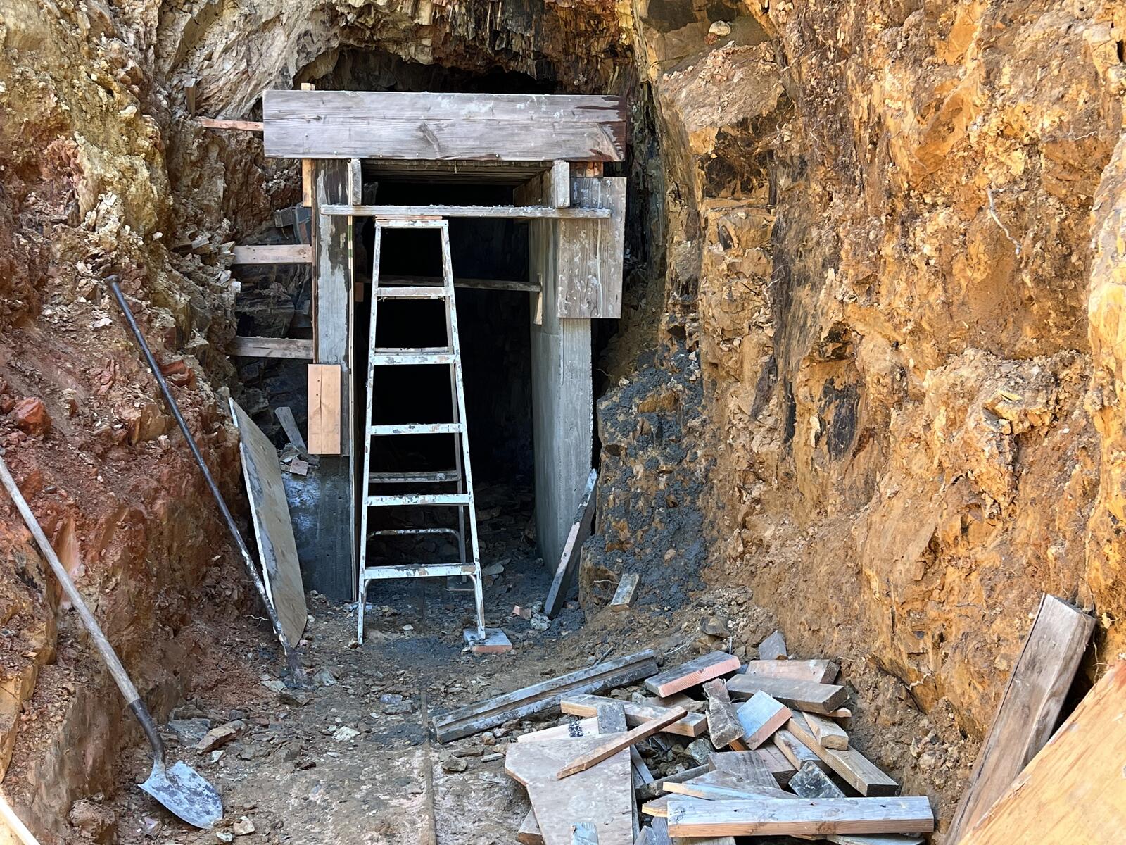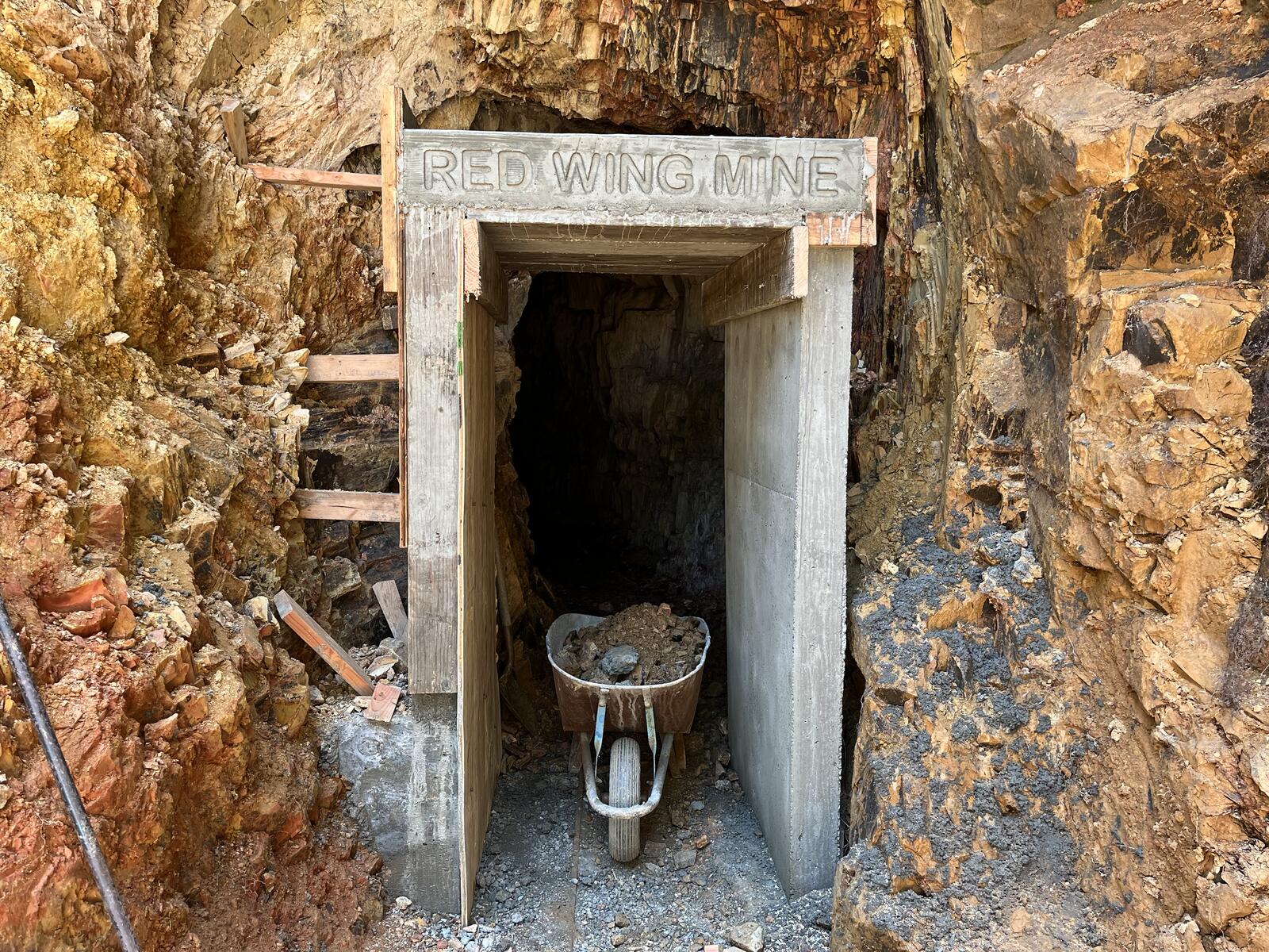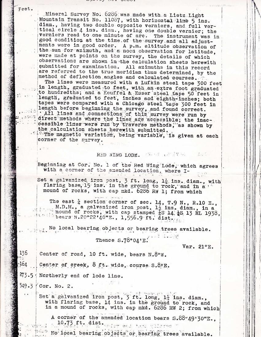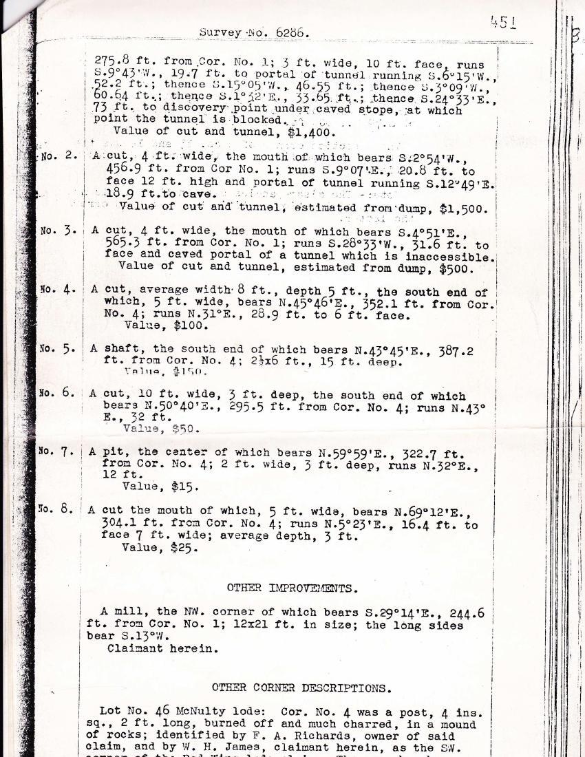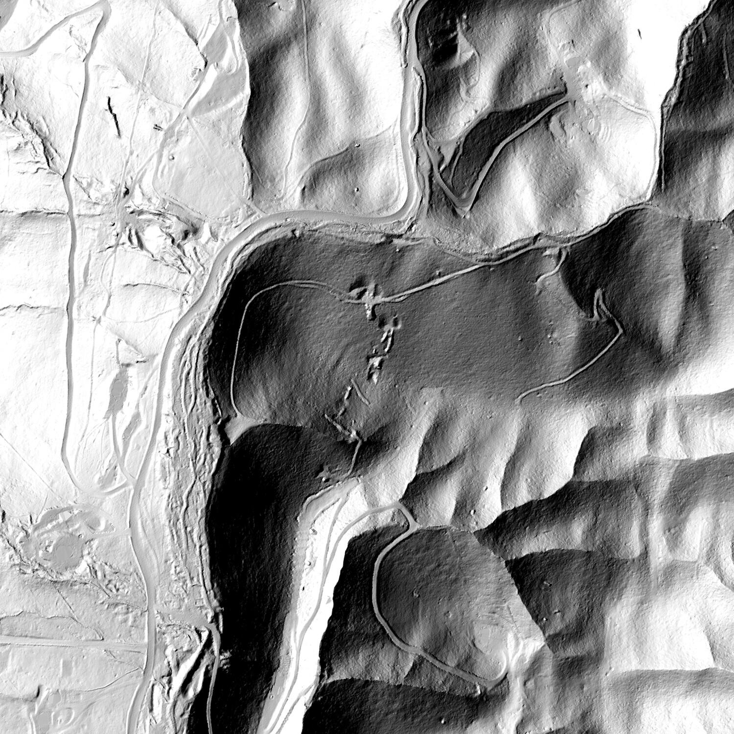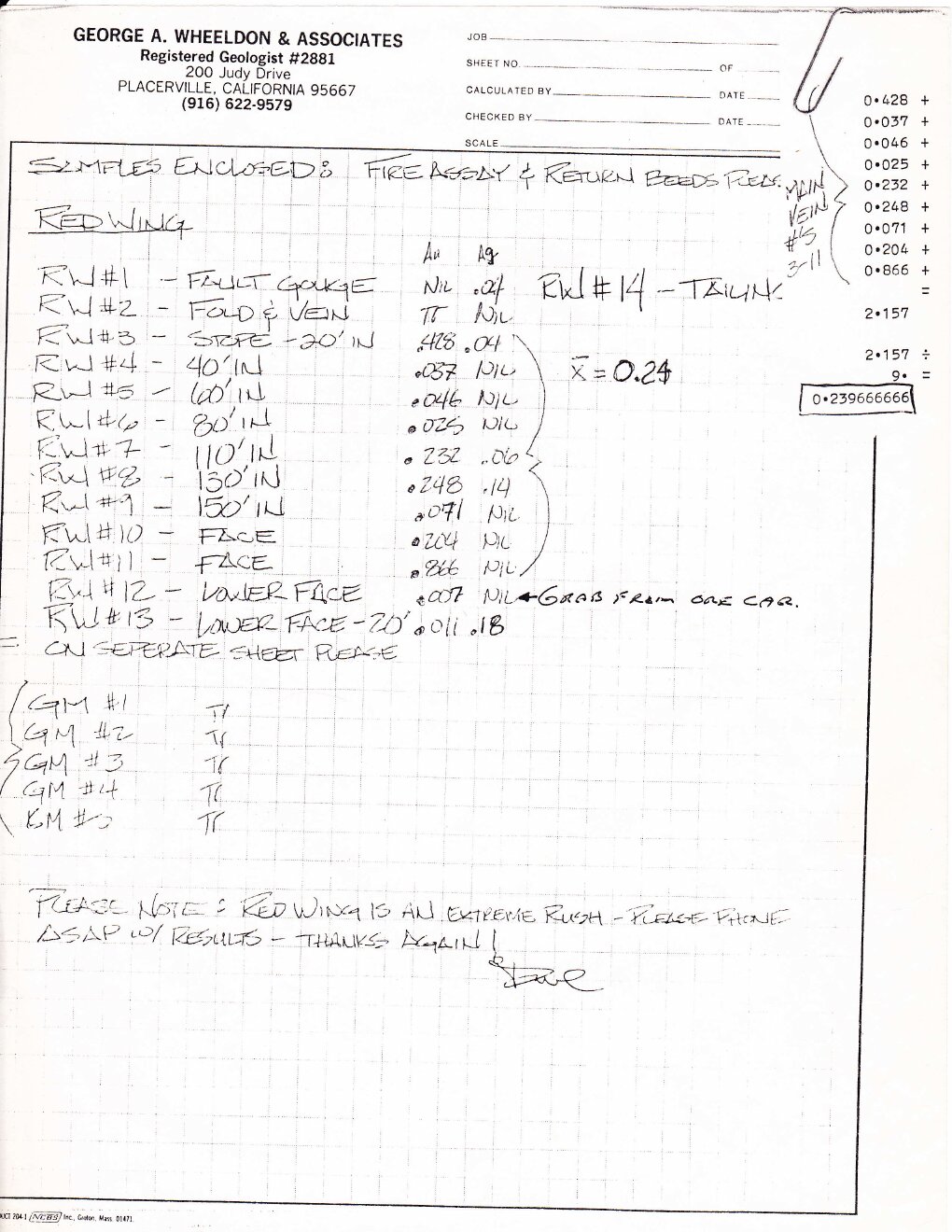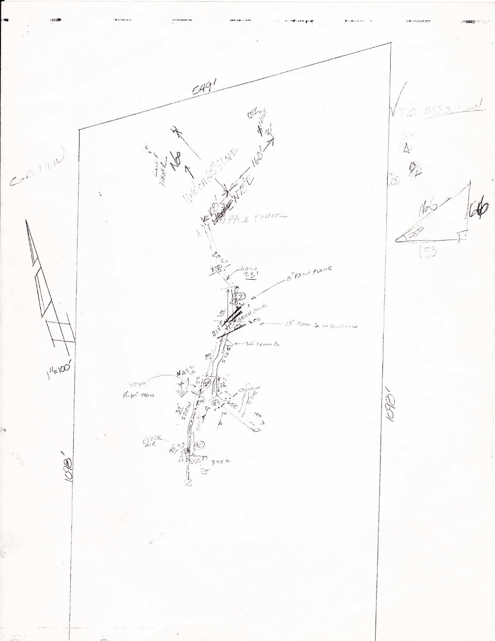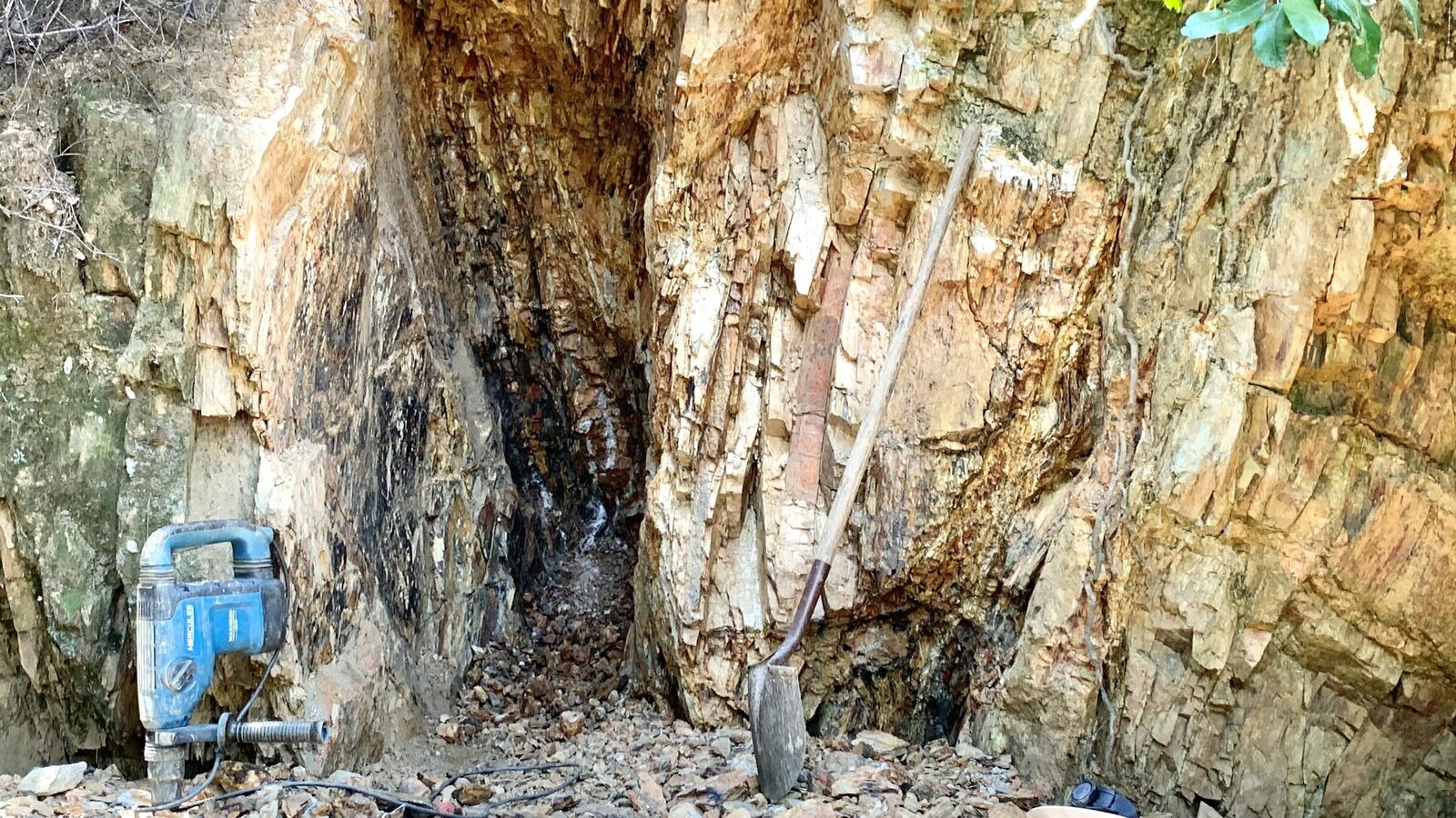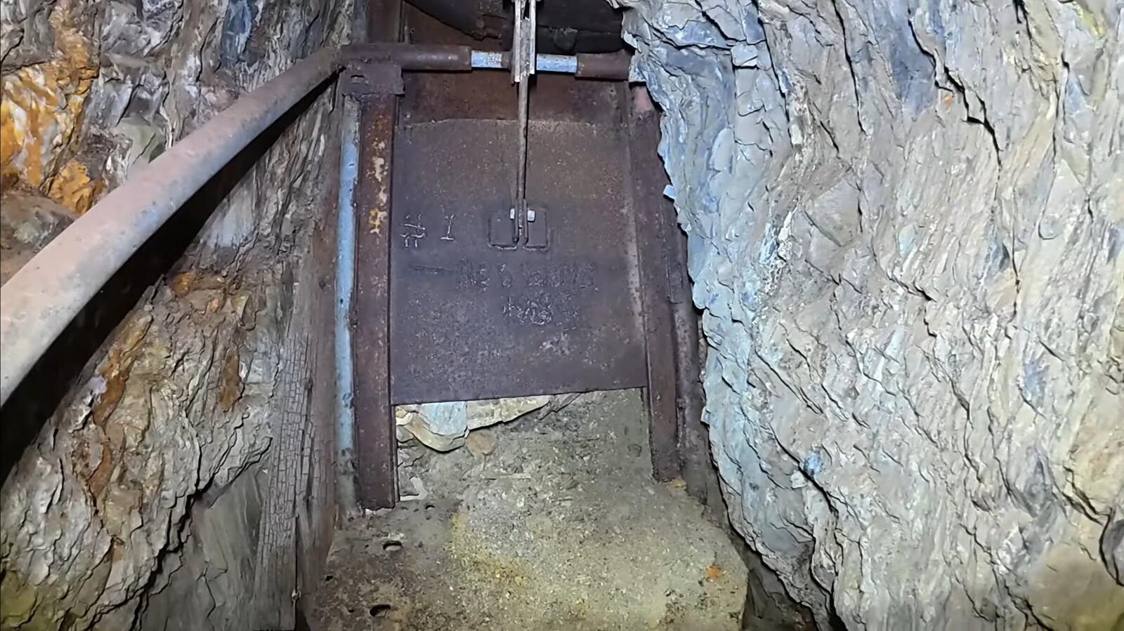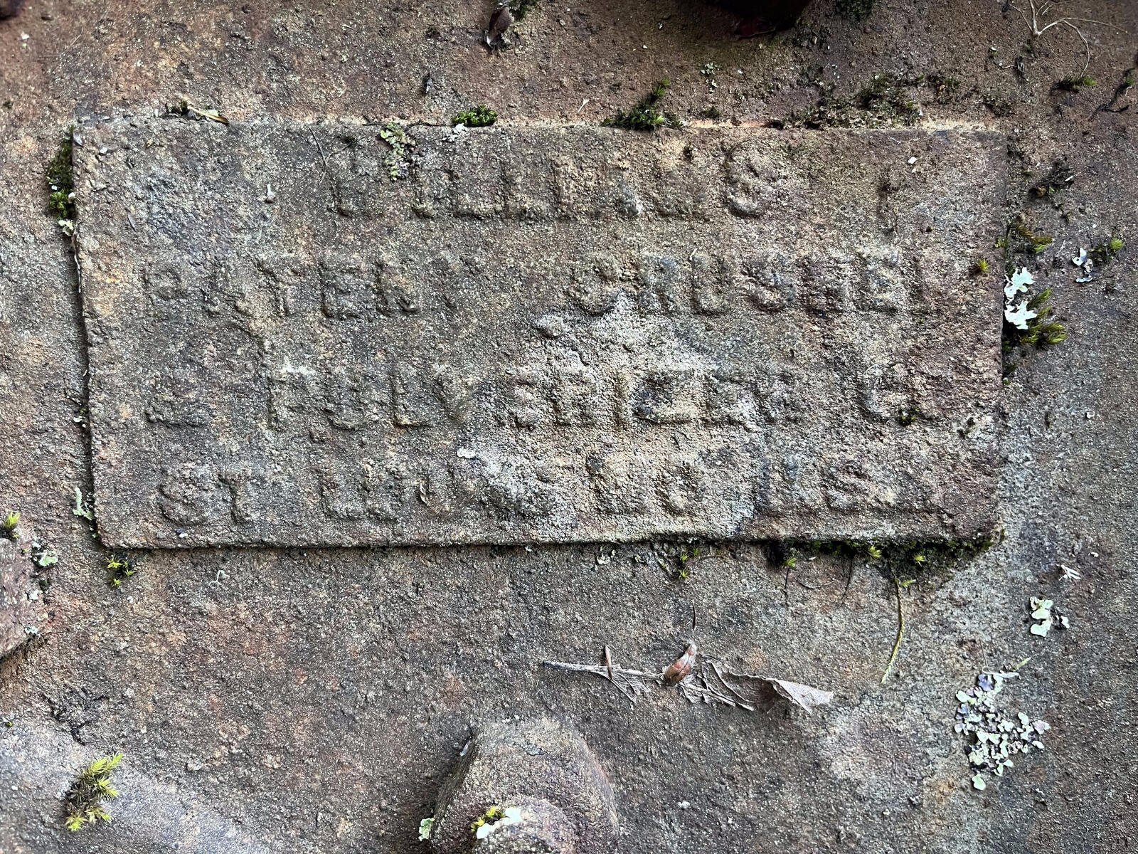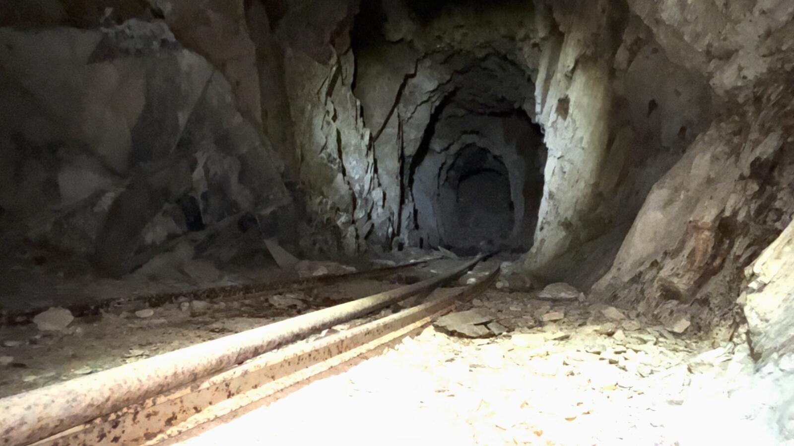
The Red Wing has about thirteen and three-quarter acres of patented ground on a hillside west of Logtown. It is worked from above by adits into the hillside, and from the surface by stopes and pits. Some of the named workings are open and dry. Some carry water. Some had to be dug back out by hand. One was reopened only this spring.
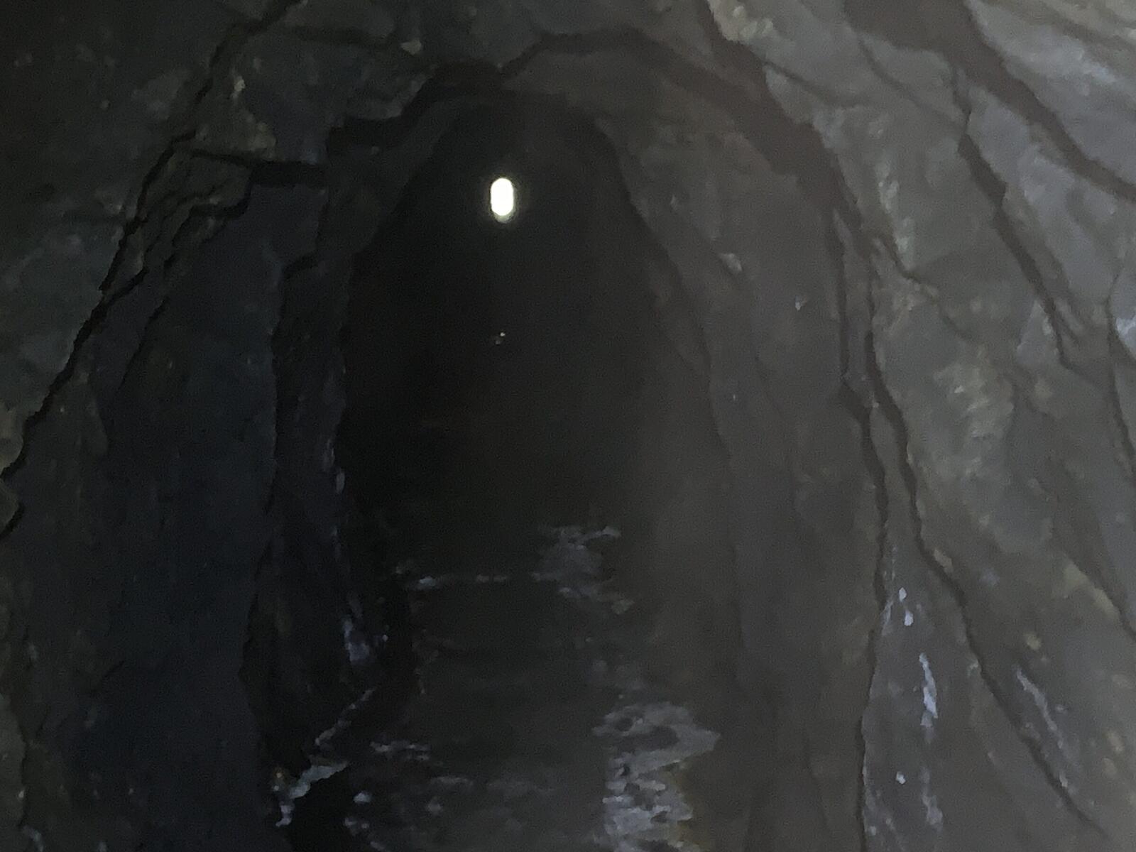
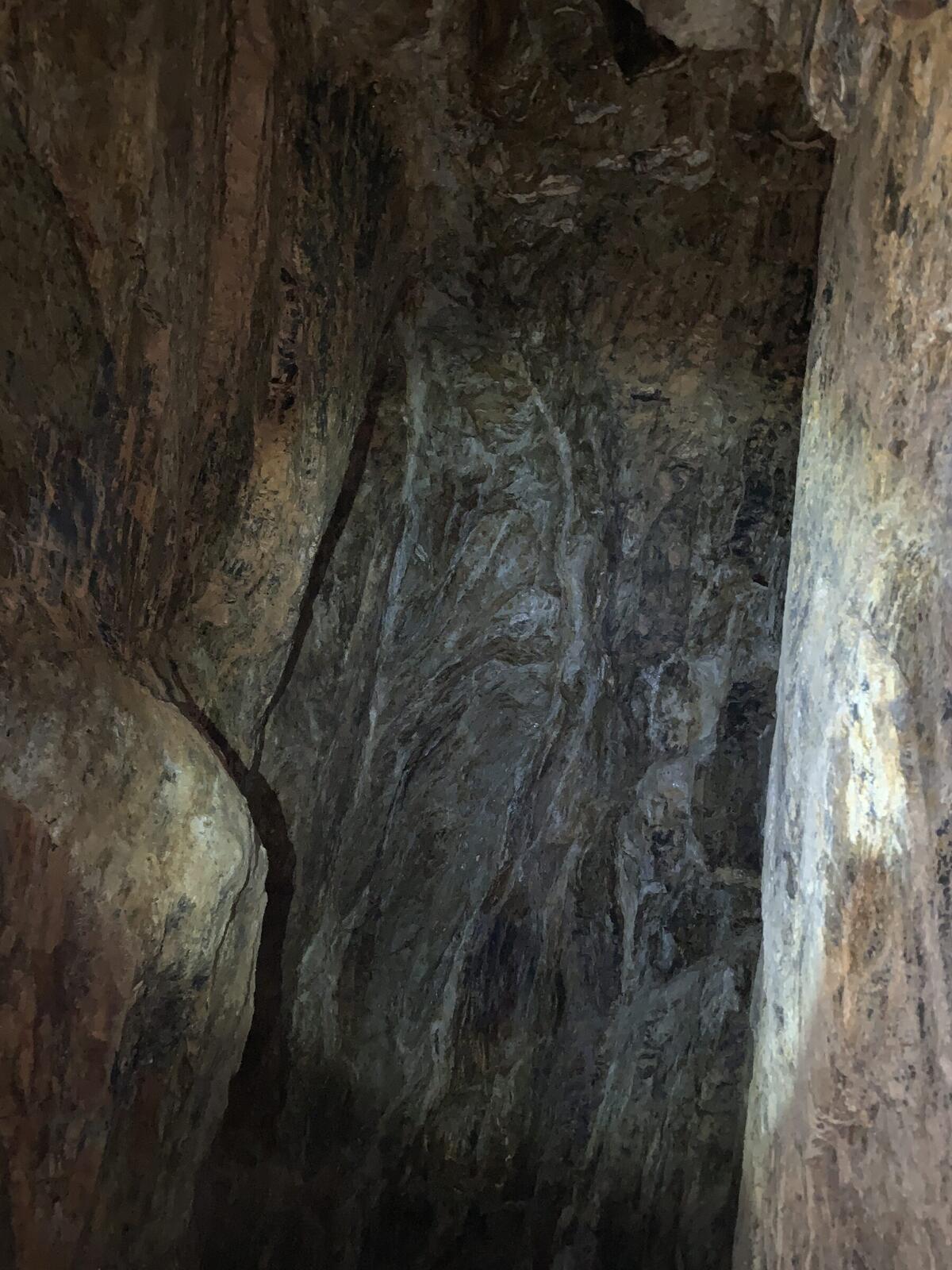
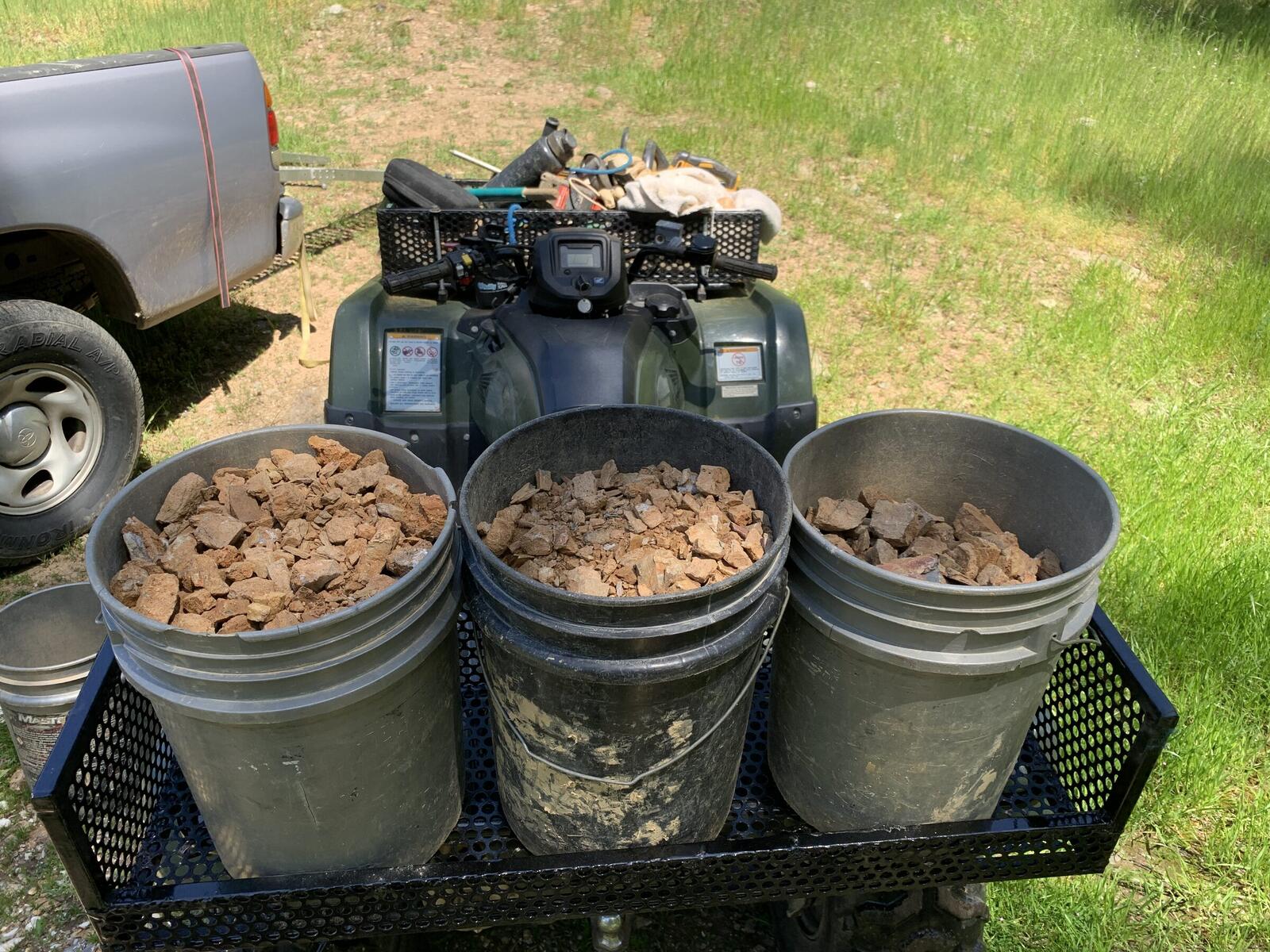
The Discovery Adit is off the lower road. It runs about three hundred and fifty feet of drift to reach the vein. Don entered it in July of 2023 with sample bags and an MD20 metal detector. The detector did not hit. The first buckets of rock he carried out returned microscopic gold. Curly-cued stubs of old candles were still pinned in the walls where the early operators had wedged them in.
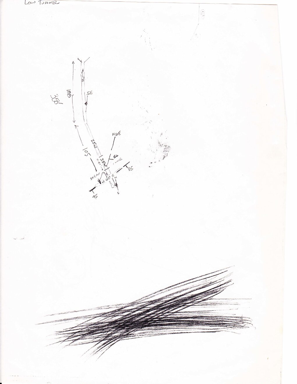
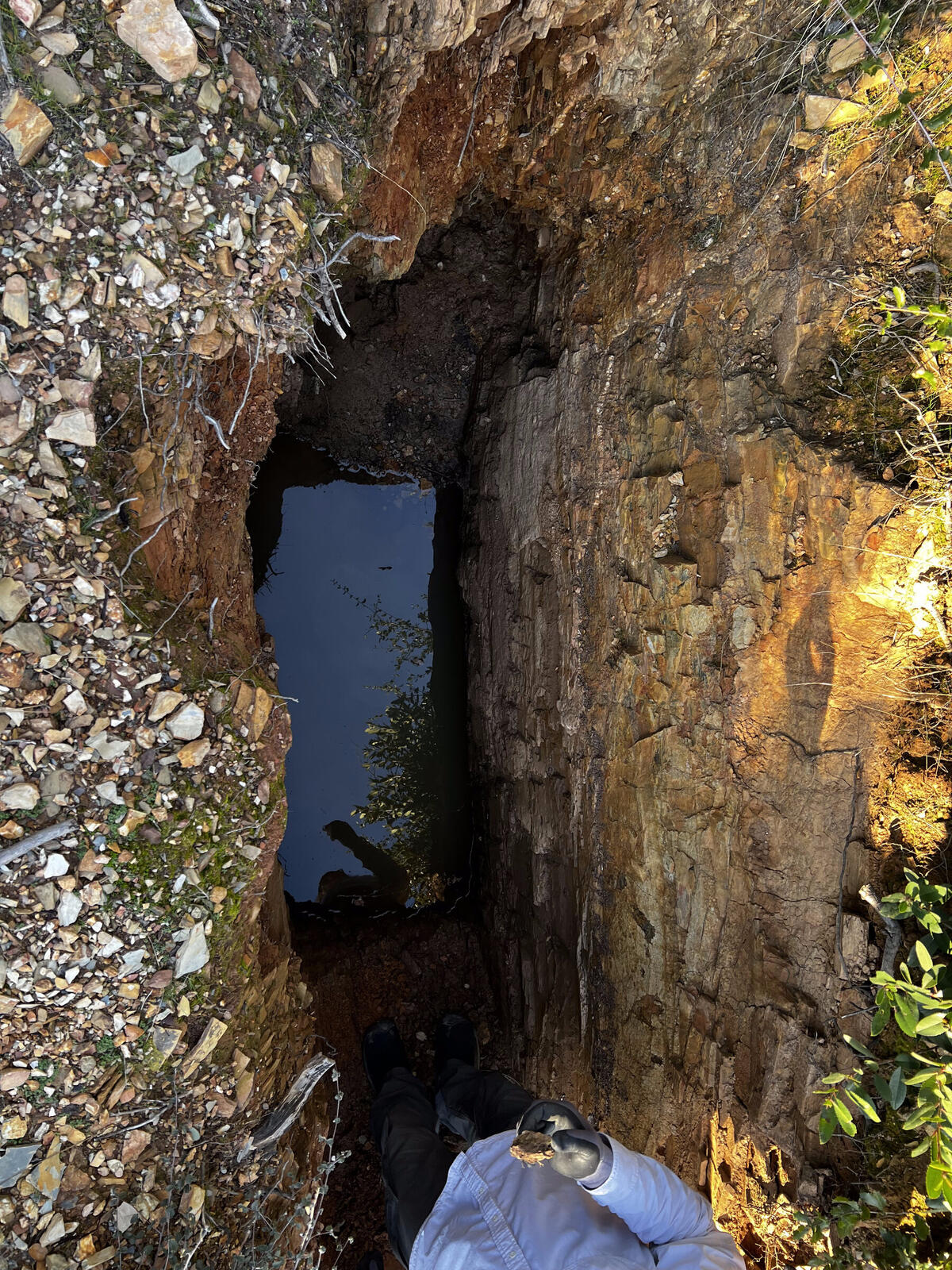
The Lower Crosscut still carries water in places. To the right of the entry the drift goes about twenty feet into a small chamber that fills back up with water as soon as it is drained. To the left a short branch ends at the standing water. The drift goes up a little before that, and there is quartz in the back. Don drained part of it in August of 2023 and has not been all the way to the end.
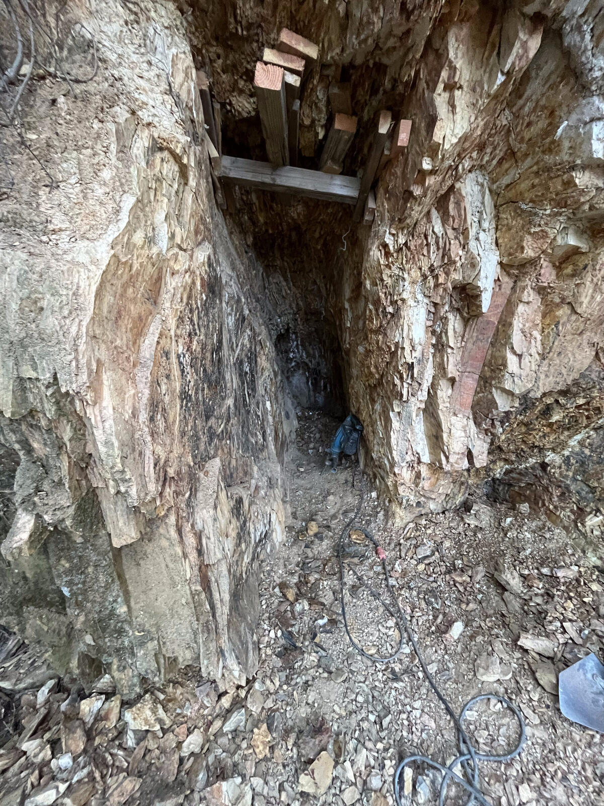
The middle adit is where Don, his father, and his brother worked in the 1980s. They drove a short crosscut off it looking for better ore. They stoped up toward the air shaft chasing the vein. By the early 1990s the ground had sloughed and the middle adit was closed. Don dug it out by hand over two weeks in January of 2025, in hour-long shifts because his back wouldn't let him do more.
I'm only spending about an hour at a time in there. I tire out pretty quick. About an hour is all I can do, and I have to get out and make contact with my safety person on the outside. So I've turned an eight-hour job into an eight-day job here, or ten-day job. But I'm starting to think I'm going to get through there for the first time in thirty-five or forty years.
From the channel — January 14, 2025
He broke through on the fourteenth. Four days later he stood up in the middle adit for the first time since the 1990s. The water tank was still where they had left it. The walls had been sloughing off for thirty years.
This here, this is not a collapse. This is my dad and my brother-in-law shot up in here, try to find some better ore. ... Nature's reclaiming this thing. Well, it was good to finally get back in there after thirty some years, kind of sad to see it in that condition though.
From the channel — January 18, 2025
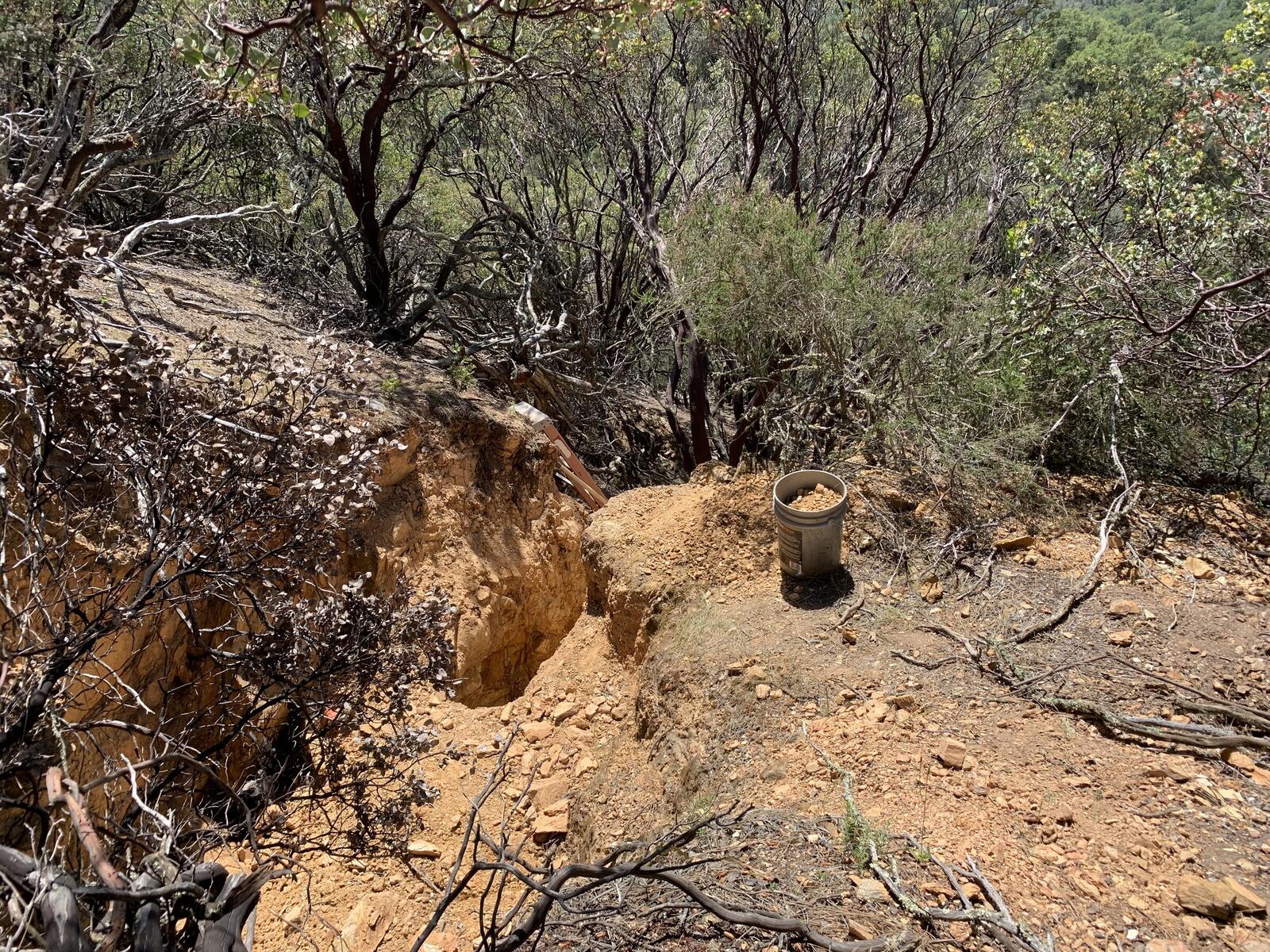
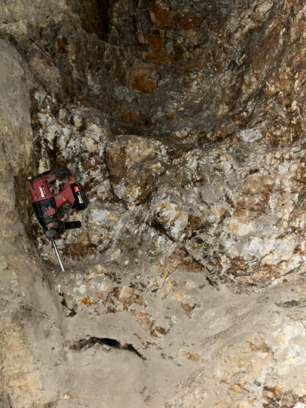
The ore pass collapsed at the entry and has since been cleared. The old stope sits on the surface above the main vein. Don worked it through most of 2025 until the heavy rains of January 2026 partly buried it under fresh slough, and his rotor hammer went under with it. He had to cut the cord on the hammer to pull it out.
The old stope marks the boundary between the work of the early operators and the work of Don's family in the 1980s. A wooden windlass with a hand-crank and a half-barrel bucket still hangs above the stope from the 1980s push. The bottom of the bucket is gone, the wheels are still on the tipper, the rest of it is intact. Below the windlass line, everything was solid quartz when the family broke in.
That was done. That's where the Oldtimer stopped. See how it just kind of pinched out. But everything below us, we did. This was solid quartz all the way across down in here. Just massive.
From a walk through the workings — 2026
There's your bucket. What's left of it. The bottom's gone, and the veil's probably still there. Veil's on the top, and then the hoist wheels are on the little tipper things. That thing make a man out of cranking that thing — oh yeah.
From the same walk — 2026
The other named places on the hill are the main vein, the property-line pit at the south end, and the stringer pits at the top. The stringer pits were the first place Don worked. A fallen oak in June of 2023 had pulled up a root ball that exposed quartz with visible gold in it. He hand-dug specimens out of the soil for the rest of that summer.
The main vein is the one that cuts through deeper than any of the worked levels. The early operators sunk a small shaft toward it from the stope and stopped. Don's family stoped up toward the air shaft chasing it in the 1980s and stopped. Whether the vein has been crossed at depth, or whether all of the worked rock is shoots coming off it, is the unresolved question on the property.
We thought we were going to hit that main vein that cuts through down here. We thought we were going to get into it down there, but I don't think we ever did. All of this is coming out of that main system, and you should be standing right on it down there. It's ten more feet. Yep. It's always ten more feet.
From the same walk — 2026
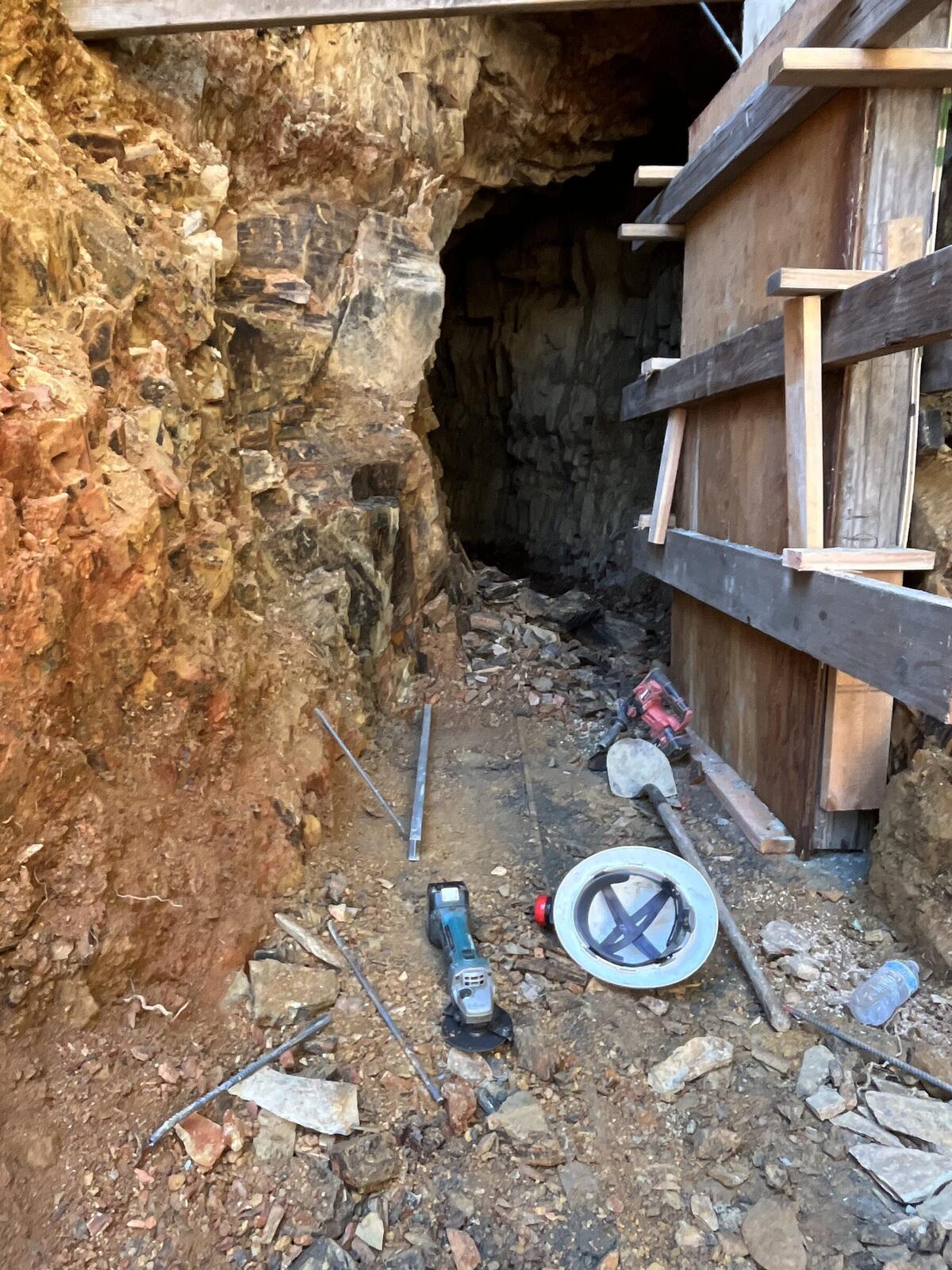
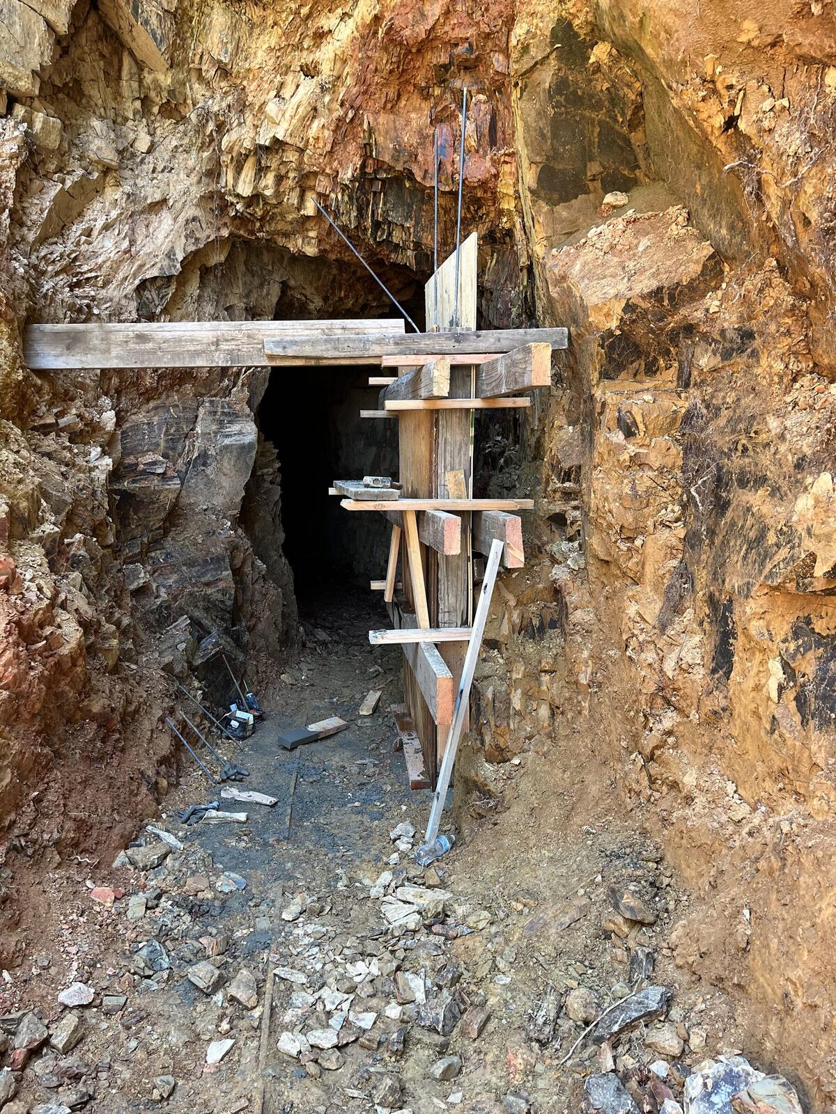
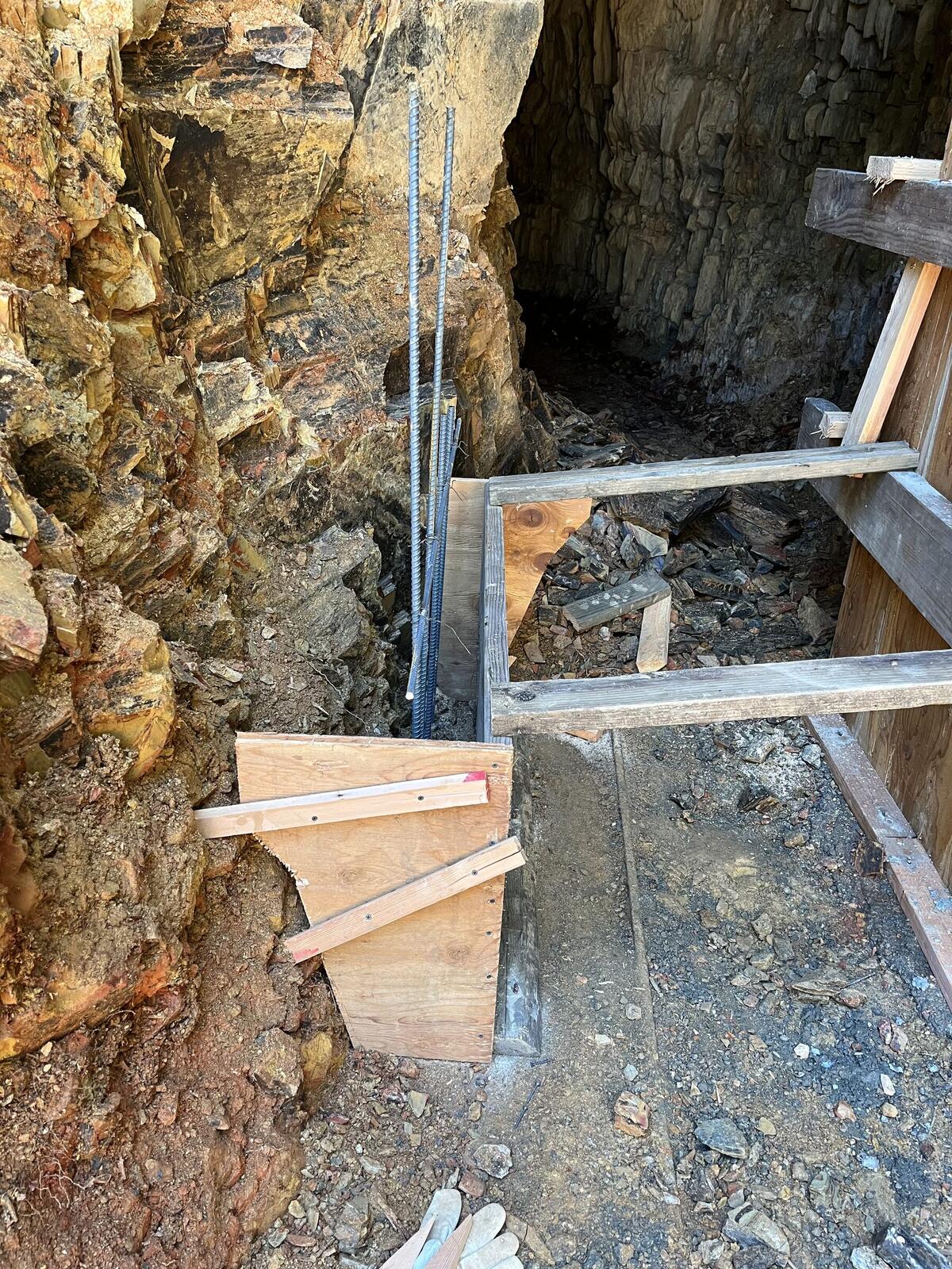
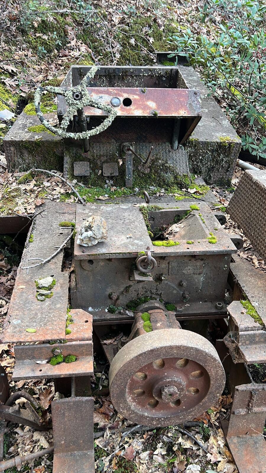
The portal was opened on May 21, 2026. The mill site sits apart from the workings, on a separate bench of the property.