The Red Wing sits on the east belt of the Mother Lode. The Mother Lode is the band of gold-bearing quartz veins that runs the western foothills of the Sierra Nevada from Plumas County in the north to Mariposa County in the south. Mining has been going on along it since 1850.
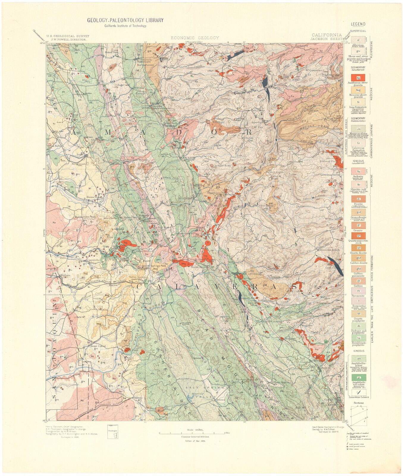
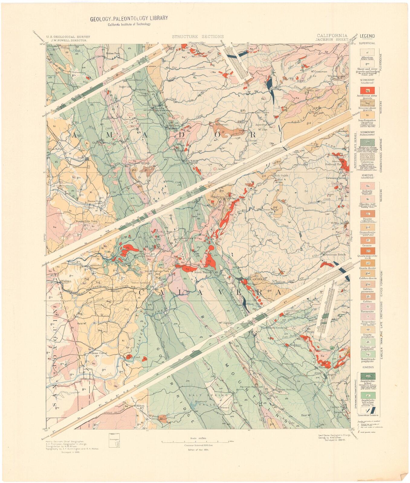
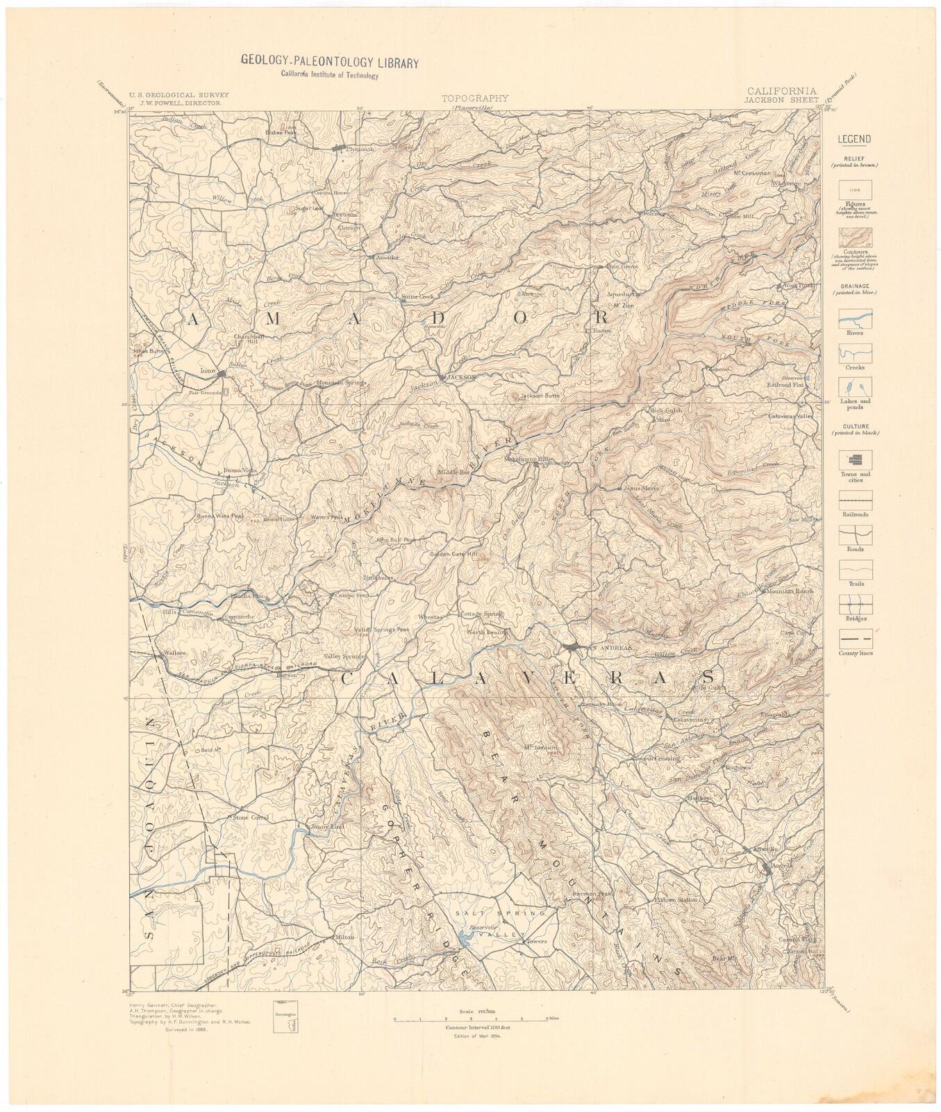
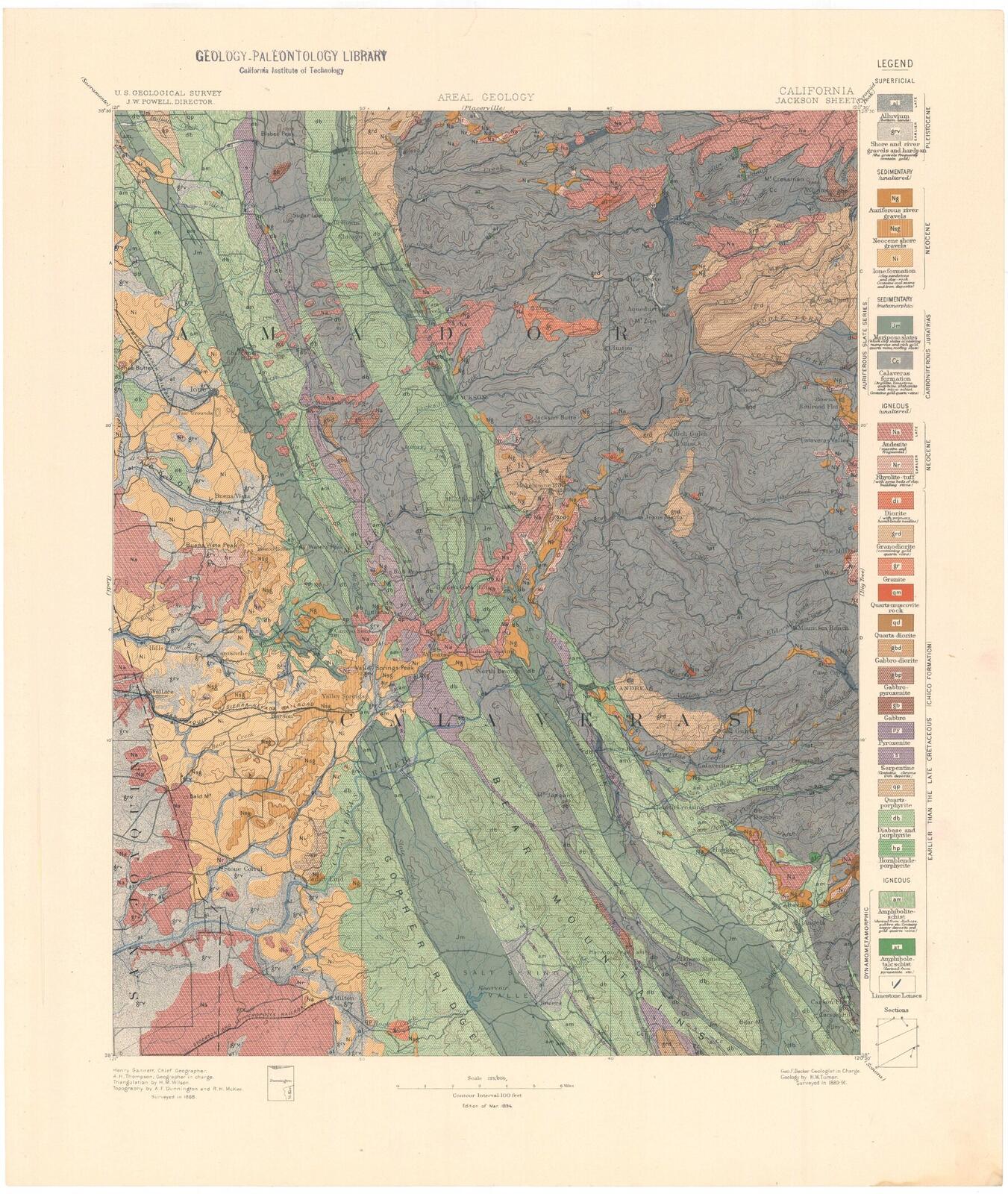
What follows is the rock that hosts the vein, the shape of the vein itself, the cluster of related claims on the same trend, and how the gold sits inside the ore. The 1894 U.S. Geological Survey mapping that organized the country is included below.
The Mother Lode is in two parallel sub-belts: the main belt to the west and the east belt about a mile or two further inland. The Red Wing is on the east belt.
The host rock through this part of the district is the Upper Jurassic Mariposa Formation: chiefly slate and graywacke. To the west, the Mariposa lies against the Logtown Ridge Formation, a unit of greenstone, breccia, andesite, and pillow lava, read by modern mappers as the metamorphosed remains of an offshore island-arc sequence. The two formations are locally intertongued and tightly folded.
The Red Wing's vein rides the transition between the two units.
The foundational geologic mapping of this country is the 1894 U.S. Geological Survey Jackson Folio, by Henry Wallace Turner and George Ferdinand Becker. They walked the Jackson Quadrangle the year before, examined the outcrops by foot, and produced a four-plate folio that still organizes how the rocks here are understood.
The Red Wing is inside the southeastern portion of this quadrangle. The four plates are below.
The vein at the Red Wing is roughly five feet of quartz. It strikes north ten degrees east and dips seventy degrees to the east. The federal patent traces the principal vein for 1,098.6 feet along the lode.
The vein carries free gold and base-metal sulphides. Pyrite is the most common sulphide. Arsenopyrite, galena, and sphalerite appear locally. That assemblage is typical of east-belt ore: gold in quartz, with iron and lead and zinc sulphides traveling with it.
The 1917 State Mineralogist's field description of the property recorded the vein at the same five feet, with the same strike and dip, developed by an upper adit of 125 feet and a lower crosscut of 525 feet. At 450 feet from the lower portal, the surveyor noted a six-foot vein in the form of a stringer lead, with a drift being driven north of it.
A century later, Don was walking the Lower Crosscut and reading the same language onto the rock.
Stringers — or "Big B stringers" — that's what it says in the report. The stringer lead. Somewhere there's gold falling.
In the Lower Crosscut — 2026
The Red Wing is one vein among several on this stretch of Logtown Ridge. The Loveless Mine sits five hundred feet up the ridge to the north, on the same trend. The patented Red Top, held by Martinez Gold Mines Company in the 1920s (U.S. Mineral Survey 5774, patented December 18, 1925), is the next claim further north. The McNulty Mine borders the Red Wing on the south. It was worked under the name Volante in the 1880s by the Volante Mining Company of St. Louis.
The 1948 Red Wing surveyor's plat names Bidstrup, Climax, and Bismark as the immediately adjacent claims; each earned its own federal patent between 1922 and 1927. The Red Top patented in 1925. Beyond those, the same country carried more than a dozen lode patents between 1909 and 1949, with the Red Wing among the last.
The whole stretch is a vein swarm rather than a single fissure. The Red Wing is one entry in a documented chain.
Gold in this part of the Mother Lode comes in pockets. The vein runs lean for stretches and then concentrates into shoots. The pay shoots tend to be discontinuous along the vein: the rock turns rich, the rock turns lean, the operator chases the shoot until it pinches out.
Don's work bears this out at every scale. A 5.5-pound sample from the back of the workings in January of 2025 returned 0.11 grams. A small main-vein bulk sample in May of 2024 returned about a gram from a few pounds. A face assay in December of 2025 ran close to half an ounce to the ton. Same vein, very different grades, depending on where the sample came from.
The 1926–1928 Mint receipts show the same pattern at a longer time scale. Across thirty months of deposits, the fineness varied bar to bar and the weights varied month to month. The ore was paying, but it was not paying at a constant rate.
You got all these little stringers, and then you got this big mass of quartz in the vein. It folds and twists.
Don, in the old stope — 2026
A federal mining-database comment associated with the Red Wing reads Volante Au quartz vein in 23. The comment has propagated through later databases without resolution. No reviewed geologic map, mining bulletin, or patent document identifies Volante as a formal stratigraphic unit or a named regional vein.
The McNulty Mine, the neighboring patented claim along the same Logtown Ridge corridor, was worked under the Volante name in the 1880s by the Volante Mining Company of St. Louis. A 10-stamp mill on the property worked an ore shoot about 140 feet long and reportedly produced around $135,000 in bullion during that operating period.
The relationship between the 1880s Volante operation and the database comment attached to the Red Wing is not proven. The most defensible reading is that the comment inherited a 19th-century operating-name reference for the adjacent McNulty ground and was later mis-attributed to the Red Wing's section 23 record. Until a primary source resolves it, Volante should be treated as an unresolved historical name, not a feature of the Red Wing geology.